Booking choice: The guided summit hike, ★ 5.0 (3). Check dates Compare the options below
There are four classic ways to walk up Mount Pilatus: from Kriens on the Lucerne side, from Alpnachstad on the lake, from Hergiswil via Brunni, and a shorter one from Fräkmüntegg, the gondola station halfway up. All of them are marked white-red-white mountain trails, rated T3 on the Swiss scale.
This guide compares the routes, explains in plain words what T3 means, shows how to combine walking with the lifts, and covers what makes the day safe, what to pack and the autumn 2026 maintenance window when the Kriens lifts stop.
The quick answer
Hiking up Mount Pilatus takes about 5 to 6 hours from the valley (Kriens about 6 hours, Alpnachstad about 5, Hergiswil about 4 to 5) with 1,600 to 1,760 m of ascent, or about 2 hours 40 minutes from Fräkmüntegg if you ride the gondola part-way. The routes are T3 mountain trails: steep and long, but hikes rather than technical routes, and well within reach for fit, sure-footed walkers with good boots in dry weather. The summit trails are best from mid-June to October, and you can ride down by cog railway or cableway.
Is Mount Pilatus hard to hike?
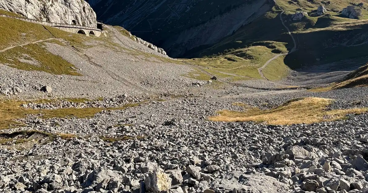
Walking up from the valley is a demanding day: 1,600 to 1,760 m of ascent on steep T3 mountain trails. It is a hike, not a technical ascent, and fit walkers with sure feet and good boots manage it well in dry weather.
What makes it hard is the length and the steepness, not any single difficult move. The paths are well marked and well built, but the upper sections are narrow and steep, with rock steps and, on the routes via Klimsen, a metal staircase through a rock cleft just below the top. If you regularly walk four or five hours in hilly country, you have the fitness for it. If you want the summit views without the full effort, ride part of the way, or stay on the easy walks at the top described in the summit walks guide.
How long does it take to walk up Mount Pilatus?
Allow 5 to 6 hours on foot from Kriens or Alpnachstad, about 4 to 5 hours from Hergiswil, or under 3 hours from Fräkmüntegg if you take the gondola part-way.
The times below are walking times from the trail operators and regional tourism sites. Add breaks, photo stops and a margin for the steep upper section, so a valley ascent is really a full day. The distances look short because almost all of the effort is vertical.
| Route | Distance | Ascent | Time | Grade |
|---|---|---|---|---|
| Kriens via Krienseregg, Fräkmüntegg, Gschwänd and Klimsen | 11.7 km | 1,761 m | about 6 h 10 | T3, June to October |
| Alpnachstad via Ämsigen and Chilchsteine | 7.7 km | 1,628 m | about 5 h | T3, demanding, June to October |
| Fräkmüntegg via Klimsensattel and the Chriesiloch staircase | 3.8 km | 797 m | about 2 h 40 | T3, demanding, June to October |
| Hergiswil via Brunni, Alpgschwänd and Klimsensattel | 7.8 km | 1,662 m | about 4 h 15 | T3, rated hard locally |
Which route up Pilatus should you take?
For most people the best choice is Fräkmüntegg to the summit: a real mountain ascent in under 3 hours, with the gondola doing the first part. Pick Kriens or Alpnachstad if you want the whole mountain on foot.
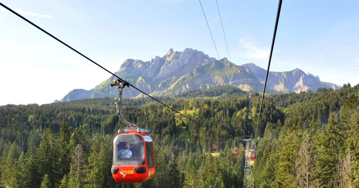
- Kriens: the longest route, starting on the edge of Lucerne. You follow the gondola line through forest and pasture to Krienseregg and Fräkmüntegg, then continue over Gschwänd to the Klimsen chapel on its saddle near the cliff edge, and up the Chriesiloch staircase to the top. You pass the lift stations, which gives you an exit at any point.
- Alpnachstad via Ämsigen: starts at the lake beside the cog railway. The path rises through forest and meadows to Ämsigen, the middle station of the cog railway, then up past the Chilchsteine rocks (1,865 m) to the summit. About 5 hours, steady and steep.
- Fräkmüntegg via Klimsen: ride the gondola from Kriens to Fräkmüntegg (1,416 m), then walk the Heitertannliweg to the Klimsensattel (1,866 m) and up through the Chriesiloch. About 2 hours 40 minutes.
- Hergiswil via Brunni: starts by the lake south of Lucerne and joins the Klimsen route at the Klimsensattel. Shorter than Kriens but steep throughout.
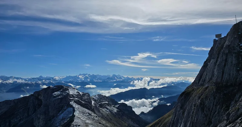
Prefer someone else to set the pace and choose the route? A local guide picks you up in or around Lucerne and walks with you to the summit, with coffee or tea and snacks on a break. Rated 5.0, though from only 3 reviews so far; railway tickets are extra.
Explore the guided summit hikeWhat does T3 mean on the Pilatus trails?
T3 is the Swiss grade for a demanding mountain hiking trail, marked white-red-white: steep, narrow in places, with harder spots secured. You need sturdy shoes with grippy soles and a steady step, not technical skills.
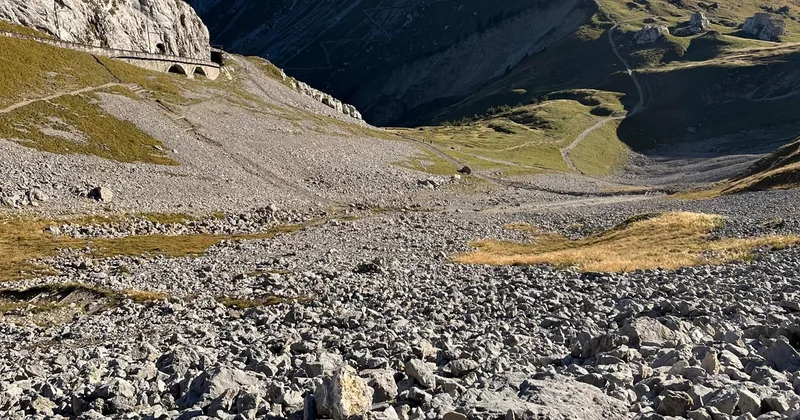
The Swiss Alpine Club scale runs from T1 (easy walking) to T6. Yellow signs mark ordinary walking paths; white-red-white markers mean a mountain trail. On Pilatus that means rock steps, loose stones in places, some narrow sections along steep slopes and, below the summit, the Chriesiloch: a narrow rock cleft that the path passes on a steep metal staircase. On the upper part you may occasionally put a hand on the rock for balance. None of this needs equipment beyond good boots, and poles help a lot on the way down. The ridge west of the Tomlishorn is rated T4 and is for experienced mountaineers only; it is not covered here.
Can you walk up and ride down?
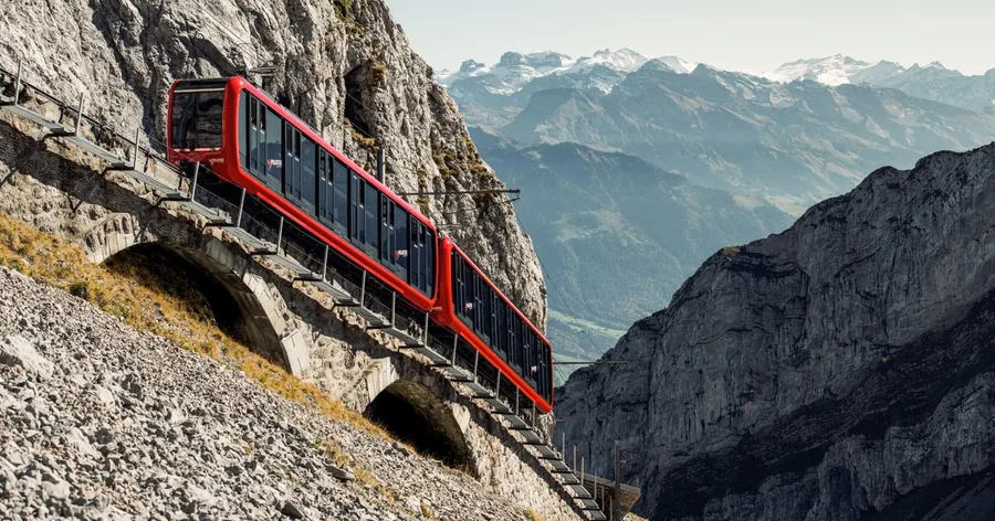
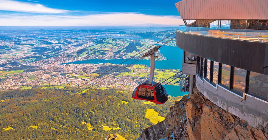
Yes, and it is the most popular way to hike Pilatus. Walk up, then ride down by cog railway to Alpnachstad or by the Dragon Ride cableway and gondola to Kriens, on a one-way ticket.
Going down is harder on the knees than going up, so riding down saves the part of the day most hikers enjoy least. One-way tickets exist for both lines, and on the Kriens side you can join or leave the gondola at Krienseregg and Fräkmüntegg. That also works the other way: ride up to Fräkmüntegg, walk the top section, and ride down. Walking both ways needs no mountain ticket at all; how the ticket options compare is in the Golden Round Trip guide.
Walk the top section with a guide: cog railway to Ämsigen, guided walk to the summit, gondola down to Kriens.
Check dates for the guided ascent from ÄmsigenWhat makes the Pilatus ascent safe?
An early start, a dry forecast, boots with grip and a turnaround time. If cloud or afternoon storms build, head down or take the lifts: they are your built-in exit.
- Start early: summer thunderstorms tend to build in the afternoon, so aim to be at the top by early afternoon.
- Check the forecast and the operator's live page the evening before and in the morning. The MeteoSwiss app is the local standard.
- Set a turnaround time and keep to it. Pilatus is always there next week.
- Wear boots with grip: the upper trails are steep and rocky, and wet rock is slippery.
- Use the lifts as an exit: on the Kriens route you pass Krienseregg and Fräkmüntegg; on the Alpnachstad route, Ämsigen is a cog railway station.
- Check the last departures: the last Dragon Ride ascent from Fräkmüntegg is at 17:30 in summer, and the last cog railway descent leaves the summit at 18:04.
What should you bring to hike up Pilatus?
Hiking boots with grippy soles, a warm layer and a rain shell, at least 1.5 to 2 litres of water, food, sun protection and poles for the descent.
Even in July and August the summit averages around 10 °C, about 10 degrees cooler than Lucerne, so the shorts and T-shirt you start in will not be enough at the top. There is food at the summit, but carry snacks and water for the ascent itself.
- Boots with ankle support and good tread
- Fleece or light down jacket, plus a waterproof shell
- Water, snacks and lunch
- Sun cream, sunglasses and a hat
- Walking poles, especially if you walk down
- A charged phone with a trail map, and your lift ticket if you ride down
When can you hike up Pilatus in 2026?
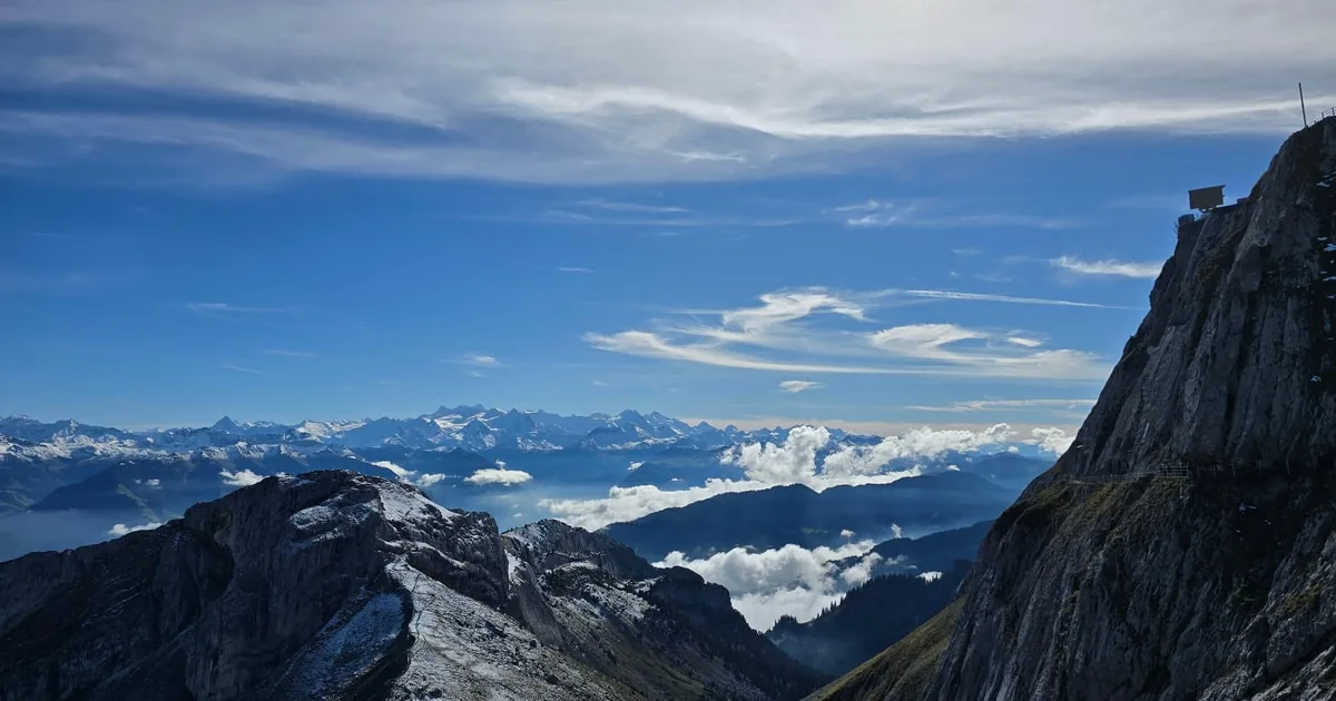
The summit trails are best from mid-June to October. In 2026 the Kriens gondola and the Dragon Ride cableway close for maintenance from 19 October to 27 November, so the cog railway is then the only lift.
Snow can linger on the upper trails into June, and the operator lists the summit routes from mid-June. The cog railway runs from 11 May to 29 November 2026. During the autumn maintenance window you can still walk up from Alpnachstad and ride the cog railway down, but routes that rely on the Kriens lifts as an exit lose that option, and the upper trails can be icy on cold mornings. From 28 November the lifts from Kriens run again, but the cog railway stops for winter and the summit trails are not for hiking. Season details are in the weather and season guide, and how Pilatus compares with other Swiss hikes is in hiking in Switzerland.
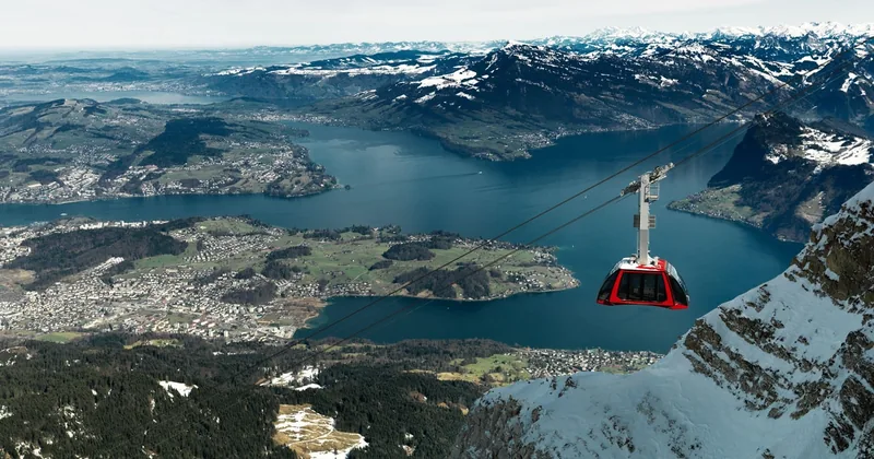
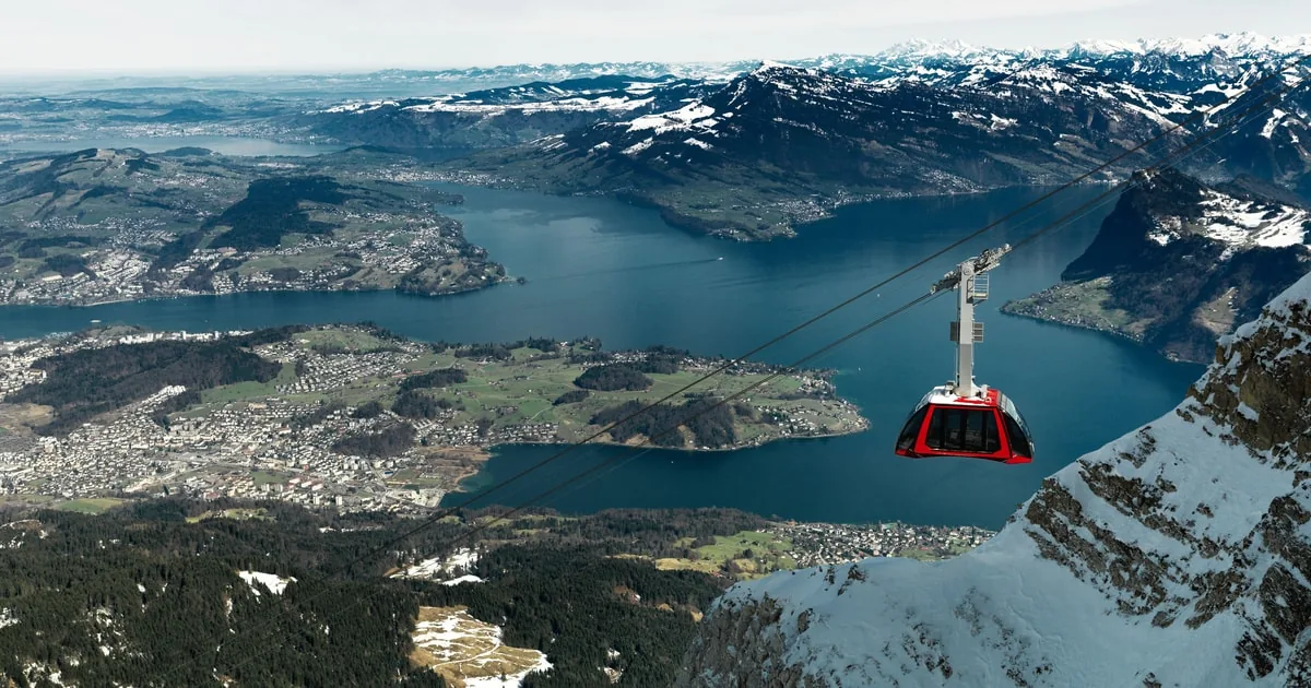
Ride up or down between Kriens and the summit on the gondola and Dragon Ride cableway, valid for one day and rated 4.7 from 669 reviews. Runs until 18 October, then again from 28 November 2026.
Explore the Kriens gondola ticketFrequently asked questions
Do you need a ticket to hike up Mount Pilatus?
No. Walking up and down needs no mountain ticket. You only need one if you ride part of the way, and one-way tickets exist for the cog railway and for the Kriens gondola and Dragon Ride cableway.
Can children hike up Pilatus?
The valley ascents are long T3 mountain trails and suit experienced, sure-footed older children only. Families usually do better riding up and walking the easy summit paths such as the Tomlishorn Flower Trail.
Can you hike up Pilatus in winter?
Not on the summit trails, which are for mid-June to October. In winter the top is reached by the gondola and Dragon Ride cableway from Kriens, and lower forest paths can be walked on foot.
Can you stay overnight at the top?
Yes. Hotel Pilatus-Kulm, a listed building from 1890 renovated in 2010, and the Pilatus-Kulm Hotel Bellevue are both at the summit, which lets you walk up one day and see the sunrise the next.
Ready to book
Choose your day
Every option refunds in full if you cancel up to 24 hours ahead. Check your date and the live price on GetYourGuide.
Guided Hike to the Pilatus Summit
- Guided hike to the summit of Pilatus, pace and route set for the group
- Coffee, tea and snacks on a break
- Pickup in or around Lucerne and back
Guided Summit Hike with Cog Railway & Gondola
A guided hike from Ämsigen to the top, lifts included